
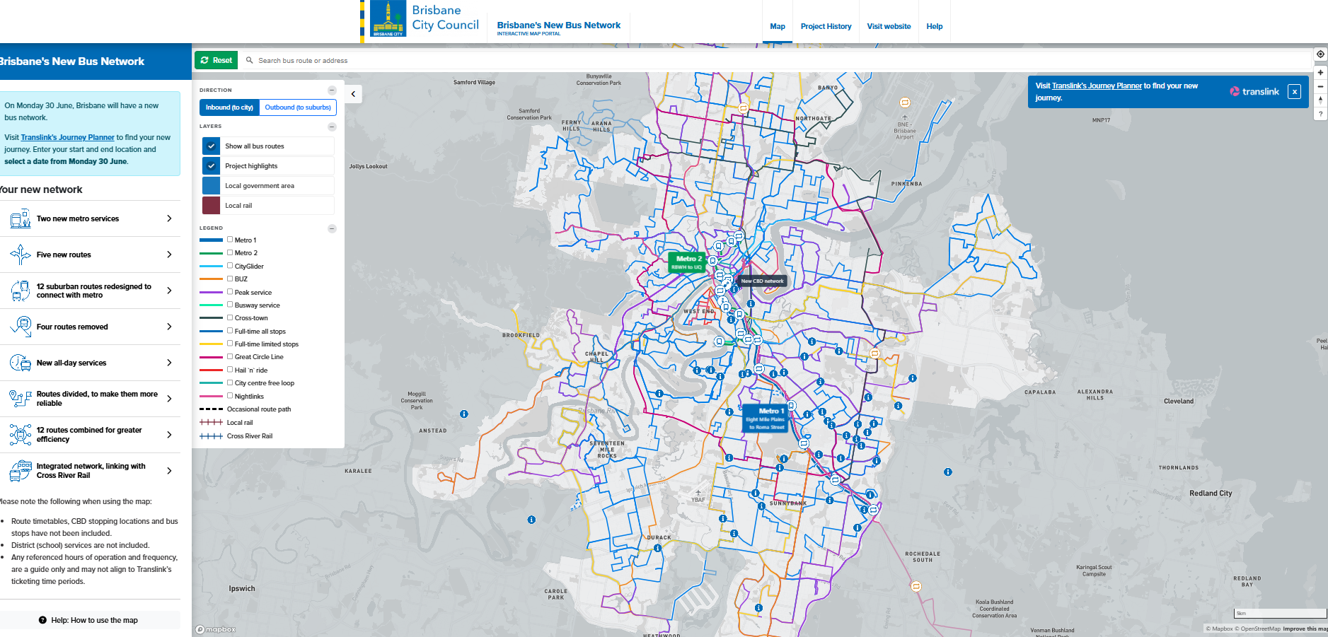
The key challenge for Brisbane City Council is to help residents and bus users understand how the network changes deployed were meant to address problems and allow for a flexible, ever-expanding, and resilient future public transport network.
The Spatial Media team constructed the interactive map portal to integrate data sets seamlessly and provide maximum usability to the public and future metro users. As well as being mobile accessible. The interactive map is a dynamic web experience that is also available via large touch screen displays at the community information Centre in Adelaide Street.

