
.jpg)
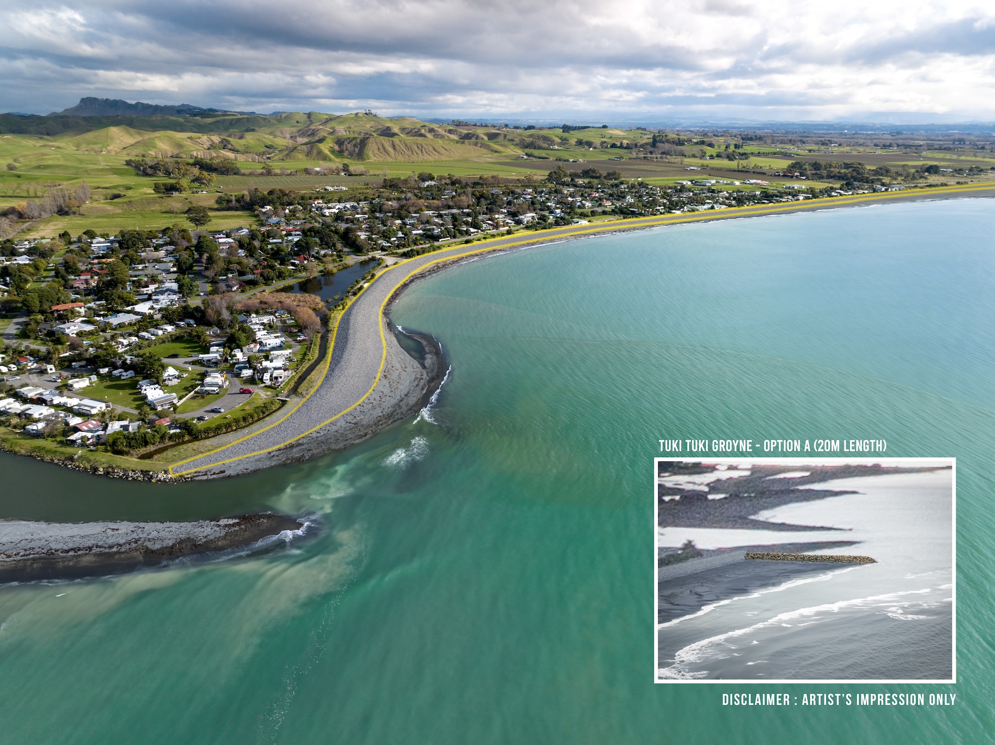
Develop photo realistic visualisations to be included in the written strategy document that best demonstrate the proposed risk mitigation measures along the coastline.
Spatial Media captured drone imagery along the coastline between Clifton and Tangoio and developed a series of 3D image renders that accurately depicted the concept design elements including groynes, gravel nourishment, sand nourishment and gravel barrier construction in context. The images vary in location to show how the strategy considers different approaches depending on the individual location. The current view and proposed views were showcased individually in the extensively detailed Clifton to Tangoio Coastal Hazards Strategy 2120 document that is under development. The document contains a lot of complex information 50+pages and outlines a number of different options.
.jpg)

