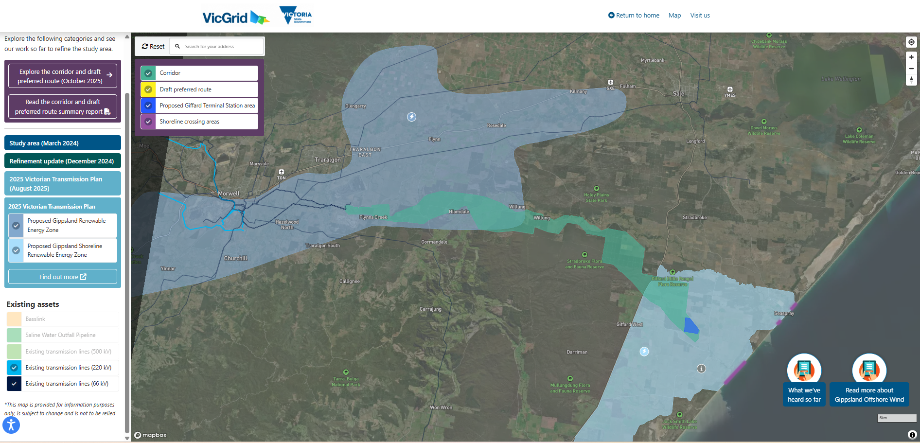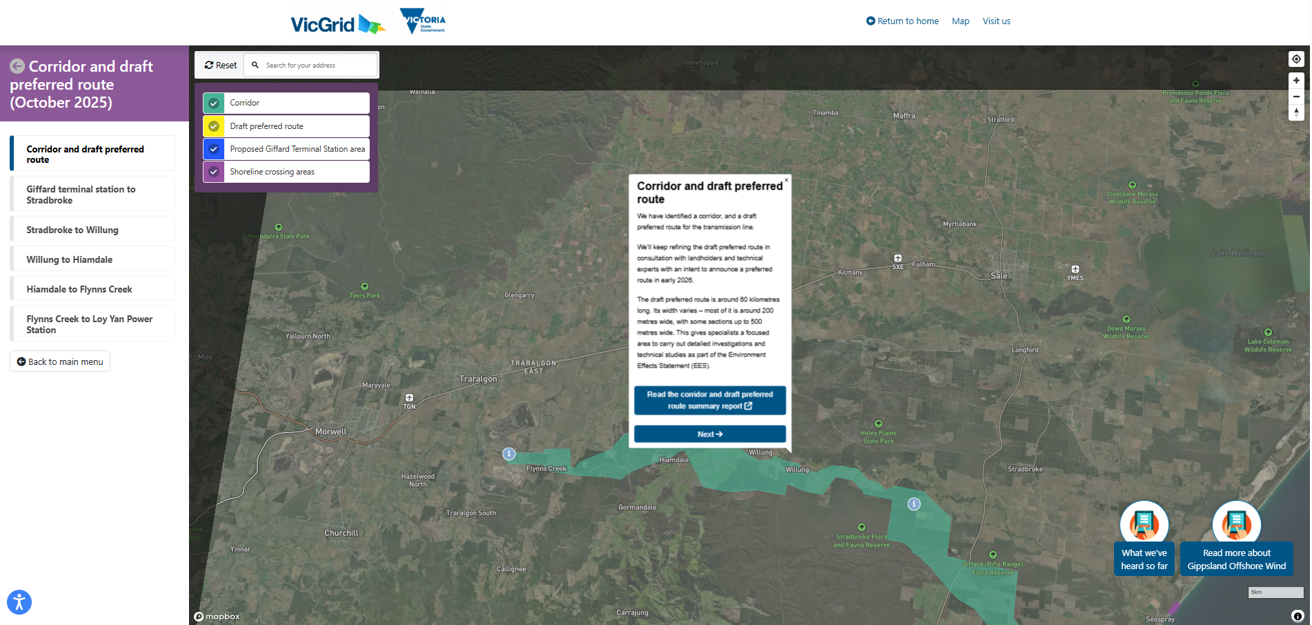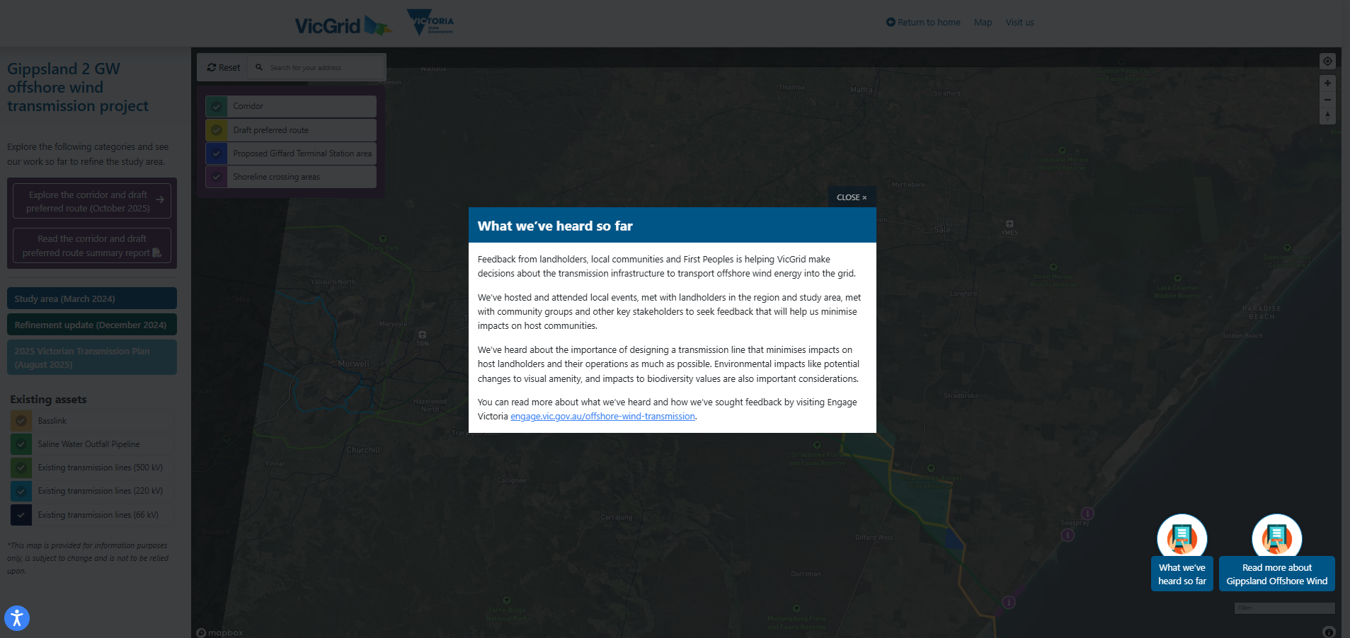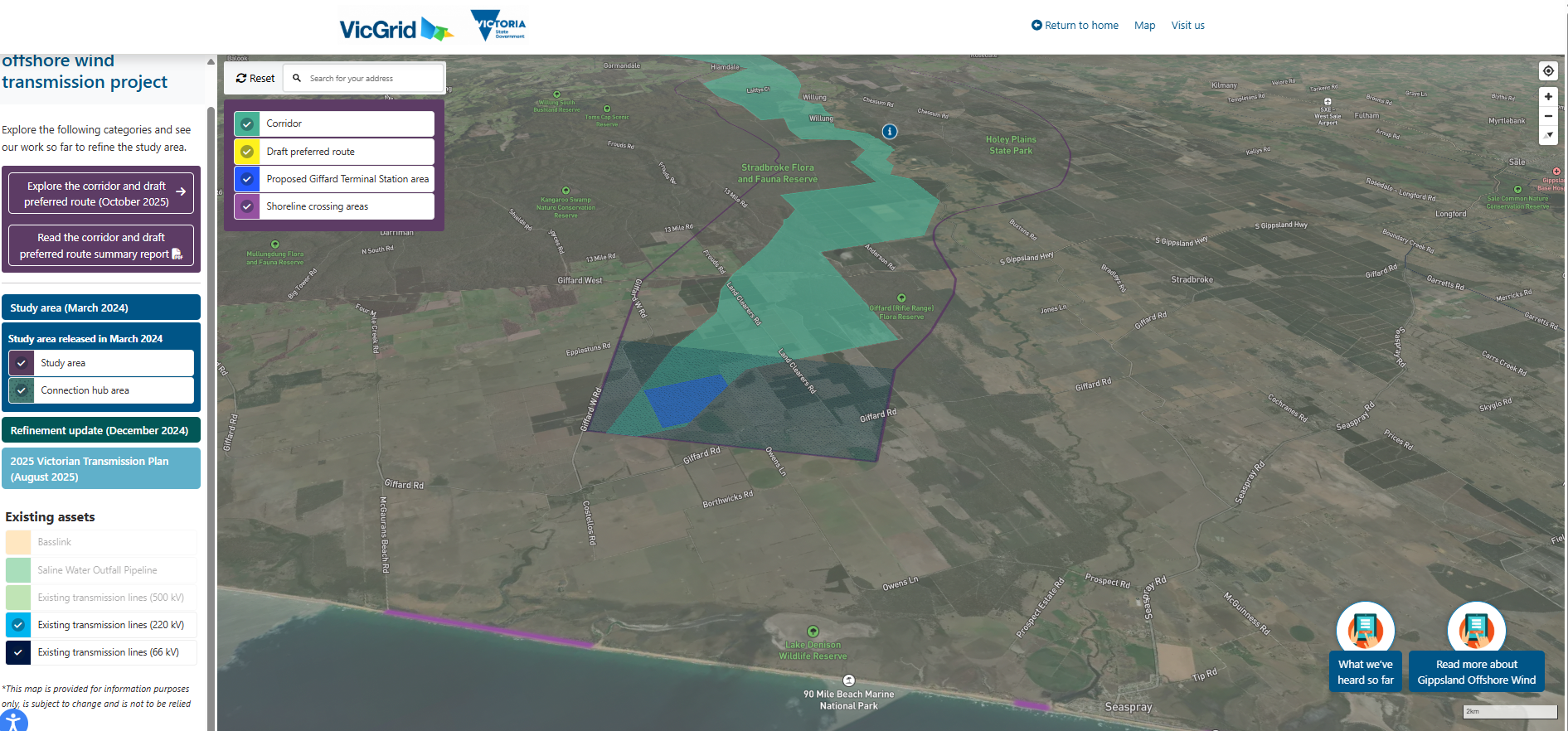
The client asked for an interactive map to assist in audience understanding around location specific and spatial data
The interactive map that we created combines key resources such as information sheets, links, feedback collection, visual data, and more to tailor a unique experience to each individual user.
Settings allow for toggling different assets on and off, as well as moving through the map at the user's own pace.
Ultimately, this fosters a deeper understanding and trust between key stakeholders and VicGrid, as community members feel included and heard across the entire project.