Building out an administration client back end system to support dynamic updates from multiple project offices with differing needs
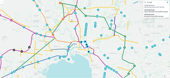
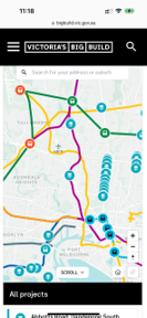
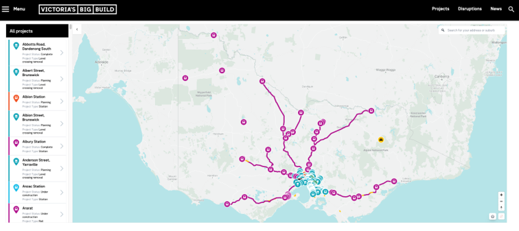
Spatial Media undertook a collaborative design and development process to create an interactive map for all projects for Victoria’s Big Build website on our SpatialEngage platform. The map allows for users to be able to see the entire portfolio of Victorian Government infrastructure projects across Victoria. You can search address and customise the map layers based on categories such as project type or status
Each project on the map is clickable and more information can be provided on the project in the side bar. Digital media such as images and videos can be added as well as links out to project websites for more information.
The map tool has a back-end admin area where new projects can be added by drawing shapes & lines or importing GIS files. The project maps/layers can also be categorised for creating new dynamic maps or allow for filtering of projects.
The map acts as a single source of truth for all the Big Build portfolio projects.